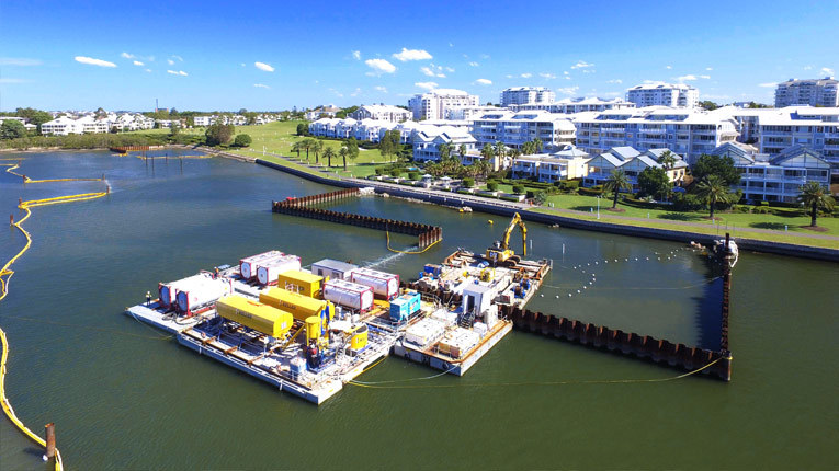
Located on the southern side of the Parramatta River, approximately 10 kilometres west of the Sydney Central Business District, the Kendall Bay Remediation Project is working to remediate legacy coal tar contamination left by a former gasworks.
The complexity of remediating underwater combined with a need to ensure minimal impact on the environment and community means the project has been no stranger to innovation. The novel in-situ remediation solution took two years of engineering, laboratory testing and successful trials for Ventia's environmental services team to develop in collaboration with client, Jemena.
Kendall Bay remediation project site
An experienced on-site team
Working on the project as a Digital Design Engineer since mobilisation in mid-2019, Nader El-Benni is also a certified pilot with Ventia's Aerial Operations (VAO) program.
The VAO program was established in 2017 following the first use of in-house drones on the Cox Peninsula Remediation project. Fast forward to 2020 and the program now has a fleet of state-of-the-art drones and a team of certified pilots who fly missions across Ventia each day.
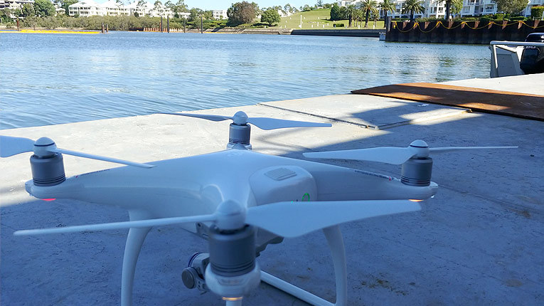
To track the progress of the Kendall Bay project, Nader conducts visual checks with a DJI Phantom 4 and a Matrice 200 RTK drone to capture 4k resolution images and photogrammetry data which can later be used to form 3D models.

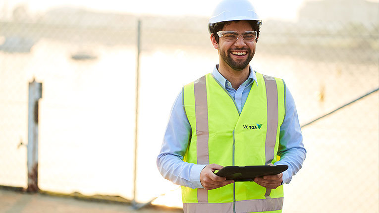
Nader El-Benni pictured on the project site
"The results of the project are best seen from the sky at low tide. Before take-off, to determine the path of the drone and exact GPS positioning, we use external software to ensure it captures imagery and data at certain elevations and rotation angles.
'The images and data are then compared to previous flights so that we can track the progress of the project," said Nader.
Underwater drone technology
The team has also been trialling the use of a Deep Trekker underwater drone to help ensure the project is operating smoothly beneath the surface. This drone technology, paired with bathymetric survey tools, allow the team to survey the project underwater with sonar to capture dimensional data that is converted into an accurate 3D reproduction of the seabed.
Senior Environmental Engineer and certified drone pilot, Allan Garland sees great benefit in the use of drones on site.
"Innovation has always been at the heart of this project. Whether we are analysing the project underwater, from the air or collecting water samples, the use of drone technology makes sense," said Allan.
With project completion expected December 2020, the team look forward to delivering this project for Jemena and the local community.
